South Bay
by: Lynn E. McElfresh
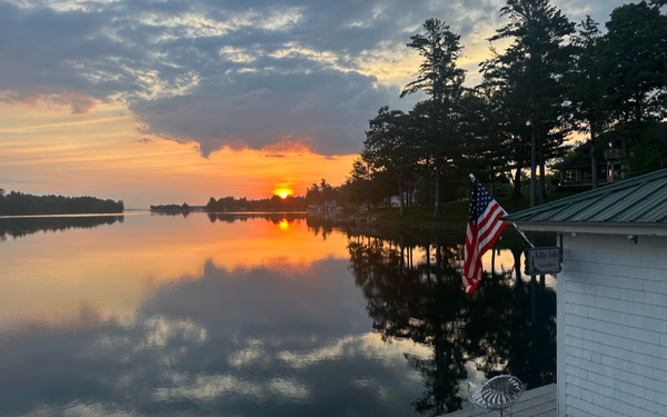
I love South Bay! It was the first section of the River I explored my first year on the island back in 1975. I’d never been in a canoe. What a better introduction to island life than a canoe trip to South Bay in a vintage canoe? So my then fiancé and now husband Gary helped me into the family’s turn of the century Rushton canvas canoe and we started out for the half-mile paddle across the water. South Bay was calm, quiet and away from most boat traffic—the perfect venue for a first-time canoer.
Near the base of the bay on the north side, we discovered a floating dock where we tied up. We happened upon the trails of Wellesley Island State Park and hiked for a while. When we came back to the canoe the west wind had come up. South Bay was pricked with white caps. Paddling into the wind proved challenging. My spaghetti arms and inexperience didn’t help. The wind kept catching our bow and turning us. Gary could have powered through and paddled the oncoming waves alone—if his paddle hadn’t cracked. Oops. Luckily, my future mother-in-law rescued us, towing us back to Grenell with the Starcraft.
Despite that rocky first encounter, South Bay has always been a favorite spot for me to explore, though I will admit the name has always bothered me. Why is it called South Bay? South of what? Wellesley Island has lots of bays, the biggest of which is Eel Bay. South Bay is not south of Grenell; it’s east of Grenell. It’s not on the south side of the Wellesley; it’s on the west side. It’s not south of Thousand Island Park; it’s north of Thousand Island Park. I hope there is someone out there who can enlighten me as to the origin of the name.

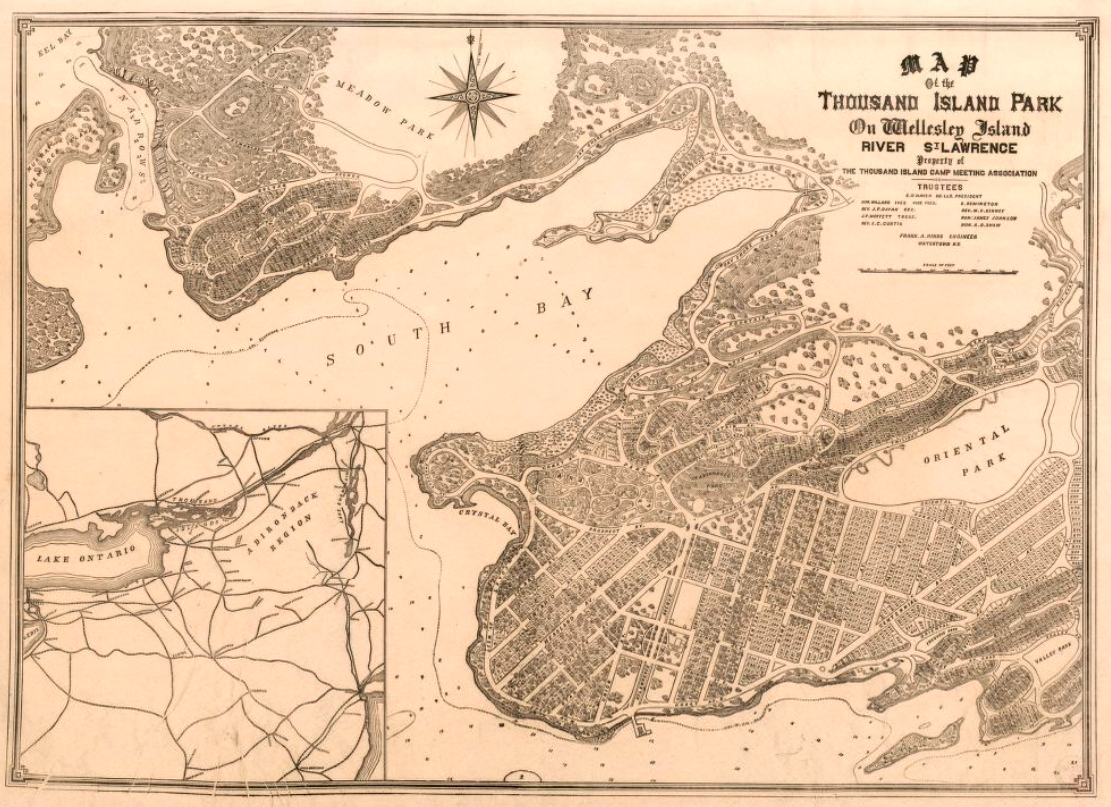
I do know that it was called South Bay back in the 1880s. In 1884, the Thousand Island Park Association cleared a path that went around South Bay. New lots were mapped out that year in new “neighborhoods.” According to the Watertown Times, “Sunrise mountain and its southern and western slopes will be mapped and staked into avenues and lots: also the northern shore of South Bay, giving more than 500 new and very desirable lots. The avenues of the park will be graded and the Bay Shore road around South Bay, three miles in length will be opened. In time this can be made into a grand boulevard on the water’s edge and in the shade, giving a delightful drive of six miles from and back to the hotel. A livery will be opened with both carriages and saddle horses.” For those of you who are wondering, Sunrise Mountain is the rise of land behind the Tabernacle.
I found a map that showed the new lots on the north side of South Bay, which was called Eel Bay Palisades. Whether the road was ever created is unclear. There is a trail today that connects Thousand Island Park with Wellesley Island State Park, but is nearly impassible early in the season if the water is high. I’m certain it is impassible this year. If the road was in place 135 years ago, time and the elements have erased it.
By 1886, the Watertown Times reported that: “A handsome wooden bridge, 1,600 feet long, has been built over South Bay. The structure is sixteen feet wide and highly ornamental, as well as useful.” The bridge was to increase sales on the Eel Bay Palisades on the other side South Bay from Thousand Island Park. I know there was at least one cottage over there. Years ago a longtime resident of Grenell told me her ancestors had a cottage on the Eel Bay Palisades side of South Bay. When it burned down, they decided to relocate to Grenell Island and we’re glad they did, as descendants of the family are still on our island today.

The view from the South Bay Bridge would have been spectacular! I’m sure residents without boats would have utilized the bridges for fishing. Rumor has it that the bridge was a popular spot for young people in the evening, sort of a lover’s lane. It would have been a wonderful spot to watch the moon set.
Apparently, the bridge was expensive to maintain. I’m sure that high water and ice flows would have wreaked havoc on the wooden structure. In 1893, the Ogdensburg Journal reports, “The old wooden bridge across Crystal Bay near Thousand Island Park, which was intended to bring into the market a large addition to Thousand Island Park, has been torn down and the scheme abandoned. This was a pet measure of several ex-officials of the park and its cost to the park was considerable. The bridge was about three-fourths of a mile in length.”

When I read the 1893 Ogdensburg Journal article, two key points popped out immediately. First, it says Crystal Bay, not South Bay. And next, it says three-fourths of a mile in length. The original report was that the bridge was 1,600 feet long. Three-quarters of a mile would have been 3,960 feet. Is it possible that the bridge went across Crystal Bay, Prospect Point, and South Bay? That would be more in keeping with the 3,960-foot estimate. If anyone could shed light on this point, I would be most intrigued.
Even before the bridge was torn down, there was another issue that nagged Thousand Island Park residents about South Bay. In 1891, E. E. Kow, who had a cottage on Prospect Point, which is on the south side of South Bay, wrote the following letter to Daily On The St. Lawrence: “My premises are neat and clean. My front yard is full of flowers. For over six weeks I have not lived in my cottage on account of the intolerable odor of the decaying and rotting garbage dumped near my home by the order of Mr. Walter Brown, superintendent of the Park.” Seems clean water was a priority even 120 years ago. South Bay is no longer a garbage dump, but a wonderful ecosystem to explore.

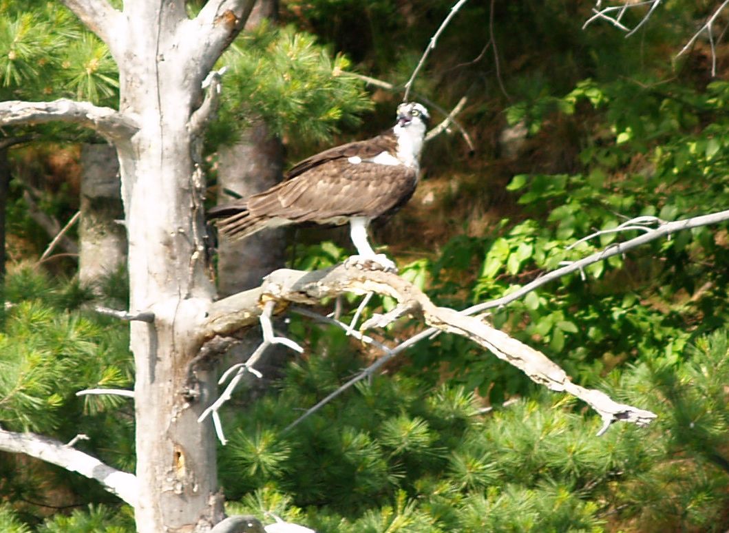
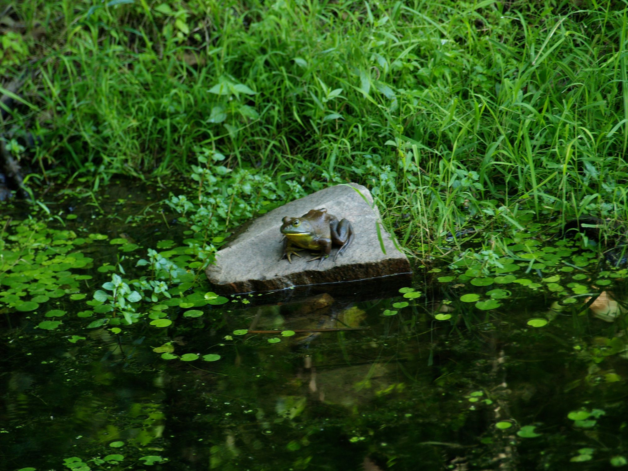
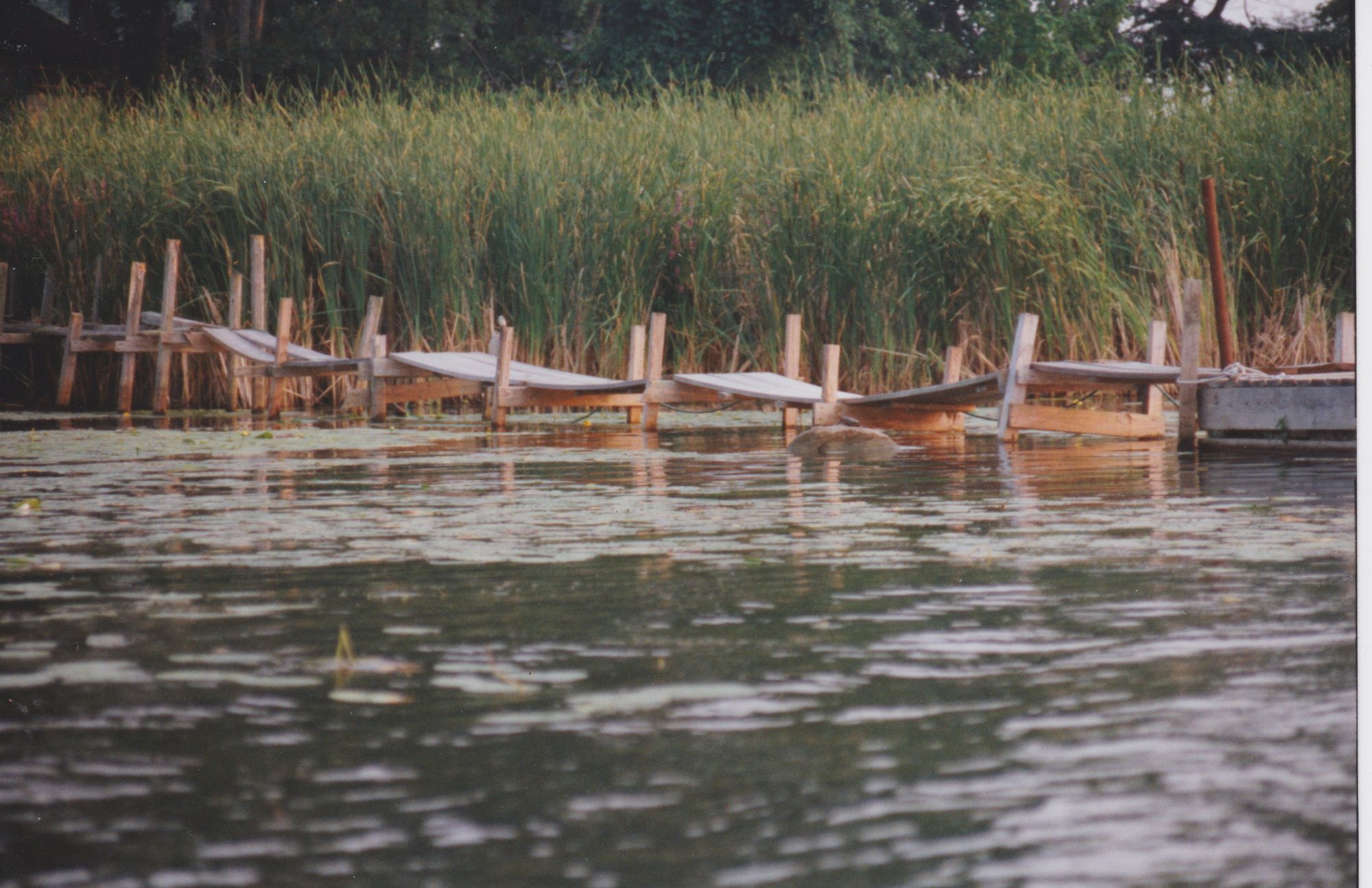
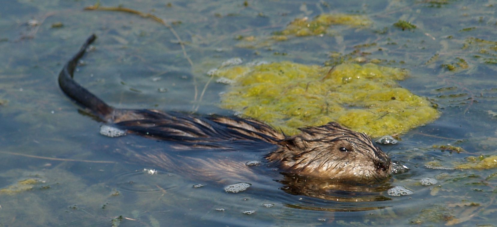
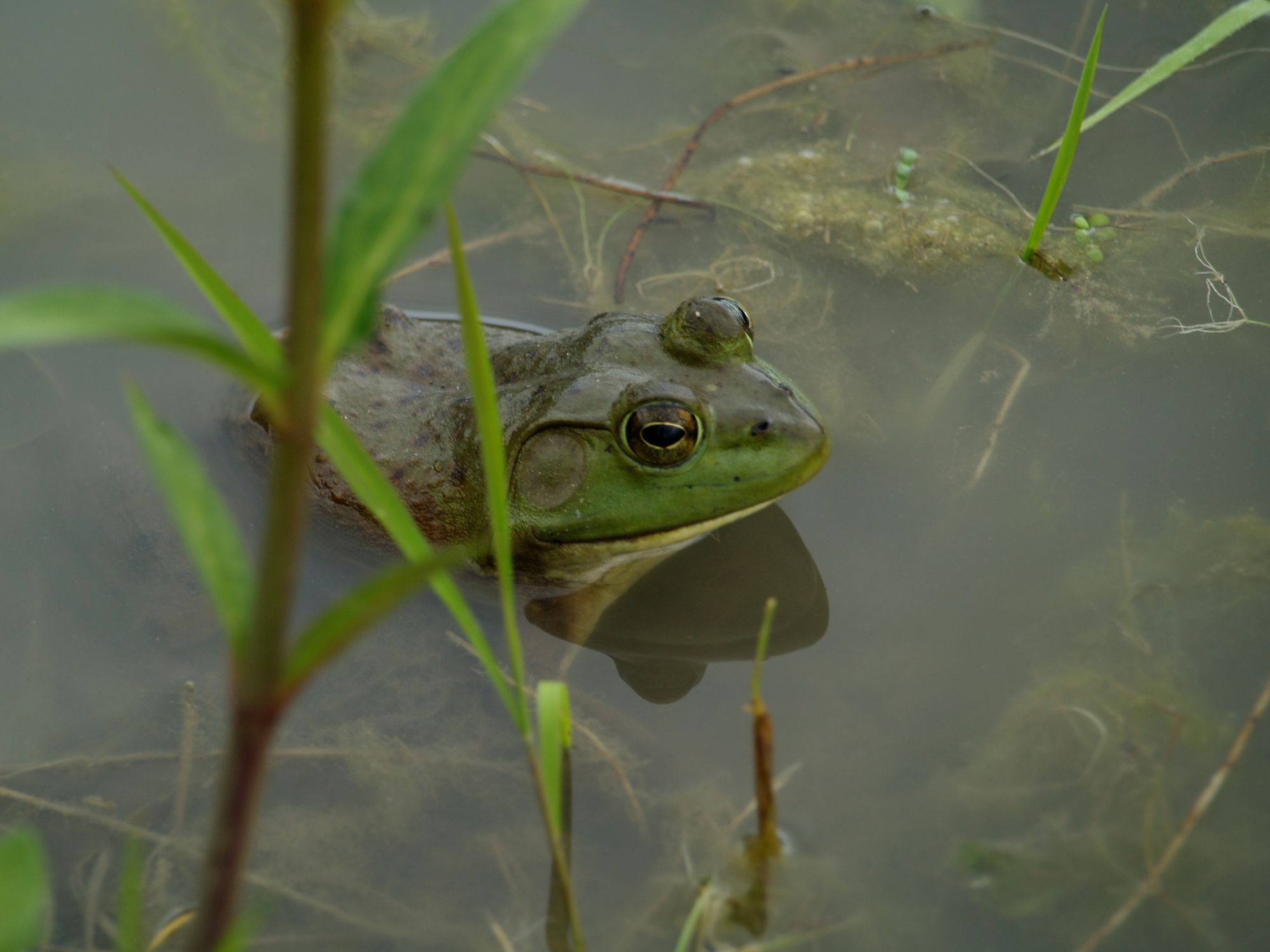
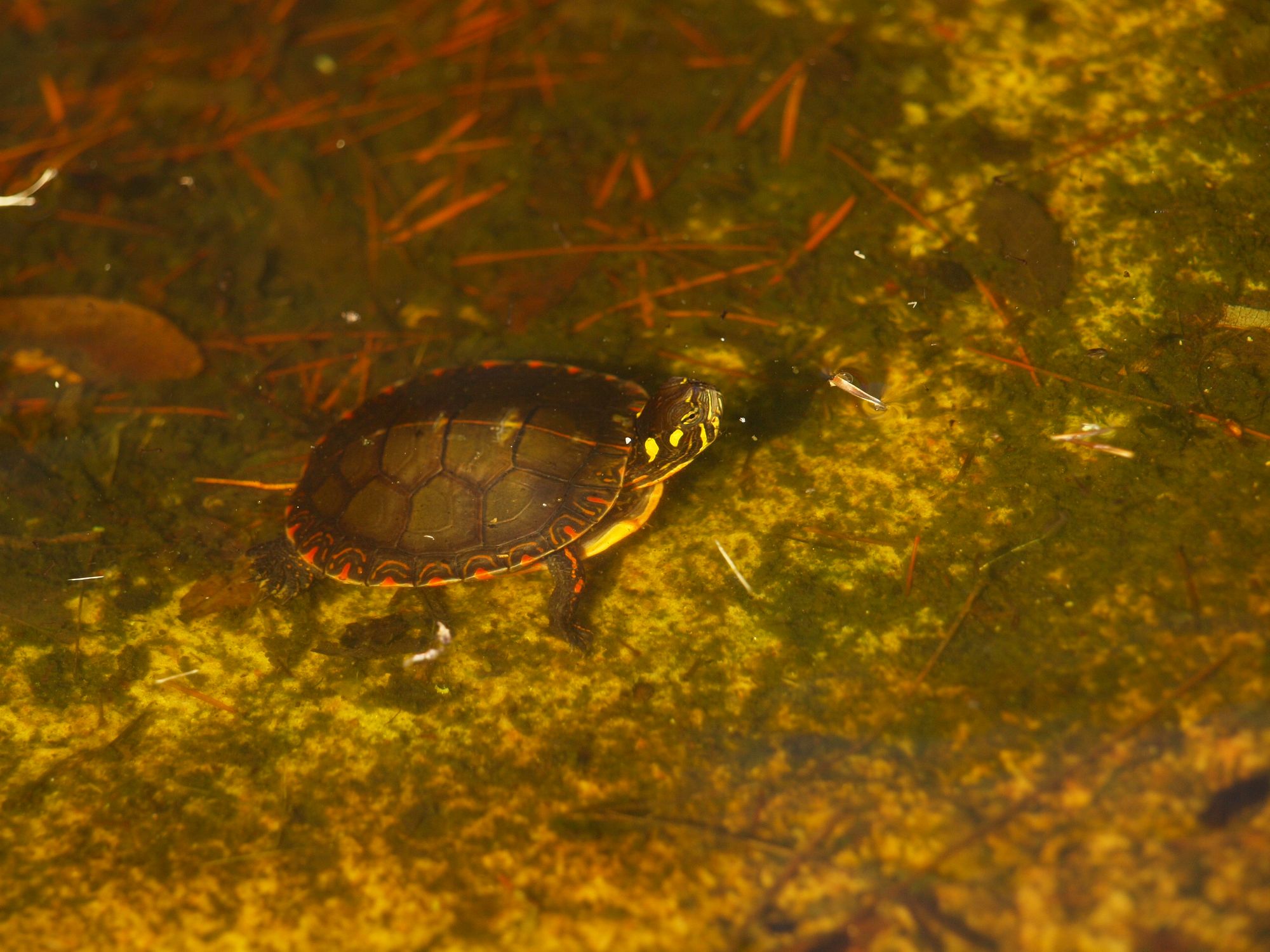
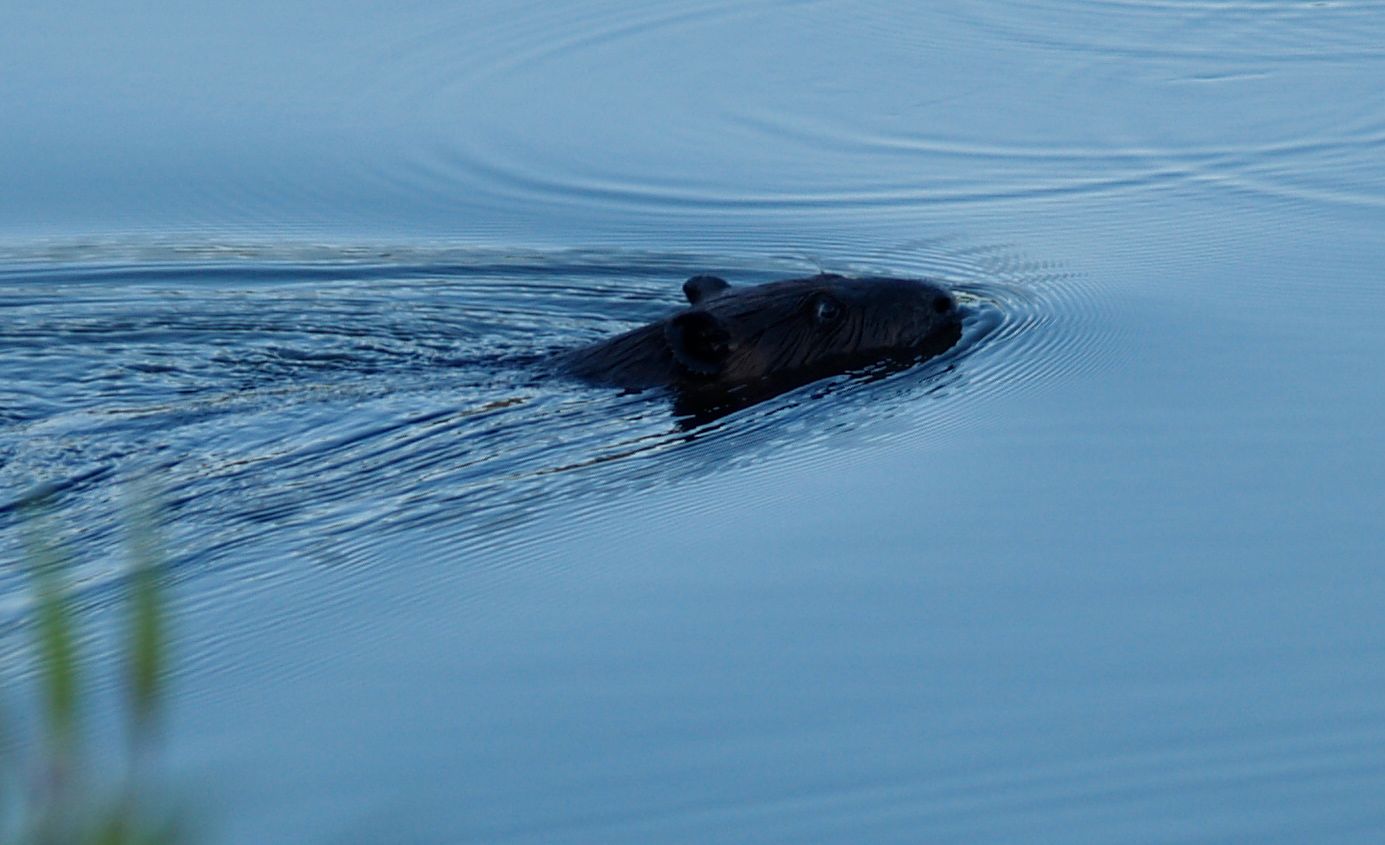
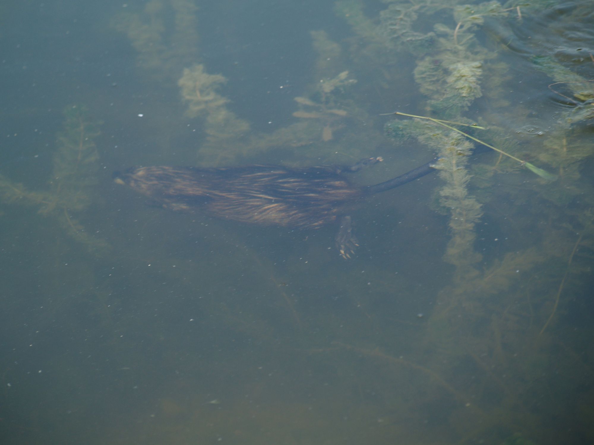
Reportedly the South Bay Bridge was built on spiles—large, heavy timber driven into the River bottom to support the superstructure. This would have created a barrier for boats. I’m so glad there is not a barrier across South Bay. Nowadays, I explore via kayak. It’s much easier for me to manage on my own than the Rushton canoe. It seems I always find something interesting to see: ducks, frogs, giant carp, snapping turtles, painted turtles, etc. One evening I happened upon an otter playing with her kit. What a delightful sight. Wish I had had my camera with me!
As we sit on our front dock, I marvel at how the view has changed for our ancestors who have been there since 1881. In the 1880s things would have been very different. Hub House would have been a focal point until 1884. After the hotel and most of the trees burned down in the fall of 1883, they would have had a great view of Thousand Island Park and watched as cottages and boathouses were built. The South Bay Bridge came in 1886. There was at least one cottage, perhaps more on the north side of South Bay. The bridge and whatever cottages that were built on the Eel Bay Palisades were gone by the mid-1890s. Today the north side of South Bay belongs to Wellesley Island State Park, and we can rest assured that the view will remain pristine and my granddaughters and perhaps their grandkids will be able to kayak the waters of South Bay and enjoy the wildlife there.

By Lynn E. McElfresh, Grenell Island
This editor waits with anticipation each month to see what Lynn will give to our River community. This month Lynn takes us on a excursion - one that each of us will want to explore in summer 2019!
Lynn came to Grenell Island for the first time to meet her fiancé’s family, in 1975. She became part of the family, and the island became part of her life. Lynn and her husband, Gary, spend their summers in the Thousand Islands and their winters in Dunedin, Florida. To see all of Lynn’s island experiences, search TI Life under Lynn McElfresh.