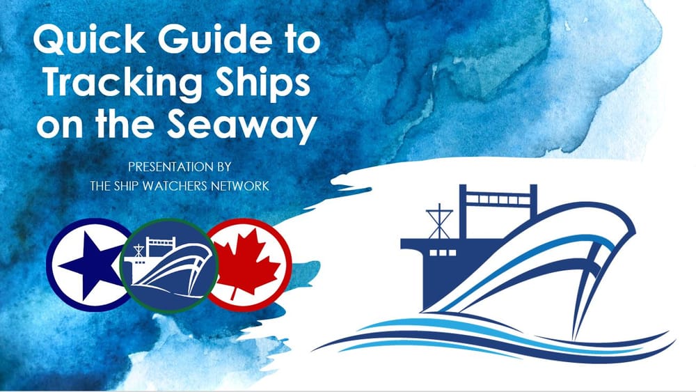
Quick Guide to Tracking Ships on the Seaway
by: Michael Folsom
With the start of the 2020 shipping season came a new look to the Seaway’s website and ship tracking system. This fresh new look provides easy site navigation and a more in-depth way to track ships traveling the St. Lawrence River.
The former way of monitoring ship movement, via the site’s tracking map, looked a bit more like an old computer game on a floppy disc, rather than state-of-the-art. The small red and yellow ship icons were almost similar to PAC-MAN ghosts you would have seen at the local arcade.
Now, the well-known Marine Traffic AIS Mapping System, which has several transmitters across the region pinging data to satellites and onto your computers, is used to display color-coded vessels – green for cargo, red for tanker, little blue for tugs/Coast Guard/ dark blue for ferries/cruise ships – indicating more specific information such as Speed, Size, Destination, and more.
A quick guide has been put together to further outline how you can find and navigate the Ship Tracking System on your own, making your ship watching experience that much more insightful.
Quick Guide to Tracking Ships on the Seaway
Posted by Michael James Folsom on Thursday, 30 April 2020
By Michael Folsom, shipwatcher.com, Facebook, Twitter
To keep up-to-date, be sure to check-in to Mike Folsom @theshipwatcher and to his Facebook page. If you want to review past Seaway recaps - be sure to see all of Mike's articles. You will see why we appreciate his work so much.