Howe's Southern 'Brother' Doesn't Disappoint
by: R.M. Doyon
As the pilot of the ‘Pinkie Rourke’ dipped one wing to our right, we could see the waters below magically change from a brilliant azure blue to a rich turquoise inside the reef. Bobbing away in the lagoon were skiffs of many sorts, including sails, touring boats, and fishing trawlers.
The 'Pinkie', likely honouring one of Qantas’ past navigators, was a Canadian-built DASH-8 twin turboprop designed to land on tiny airstrips anywhere, and in this case, on ‘Howe Island’. Not our Howe Island in the St. Lawrence, mind you, but Lord Howe Island, the crescent-shaped mainstay of a small but gorgeous archipelago located some 600 kilometres northeast of Sydney, Australia, deep in the southern Coral Sea. Coincidentally, these islands—like ours, we found out—are part of an Admiralty group.
And they share a centuries-long familial history. Both were named after a pair of Howe brothers in the late 1700s. Both men were British military officers in the service of King George III, the man who is widely remembered for losing the American colonies and for going mad.
Our Howe Island was given its name in honour of Sir William, a high-ranking general who served with Wolfe at the Plains of Abraham, the battle that saw Britain conquer New France in 1759. Lord Howe Island, in the South Seas, was named for William’s brother, Richard, who was the King’s Lord of the Admiralty. There is no evidence that either brother ever set foot on the islands claiming their heritage but that doesn’t stop the coincidence of history. (A third Howe sibling, christened George after his monarch, was also a high-ranking military commander. He died in 1758 at the Battle of Ticonderoga, in what is now modern-day upstate New York).
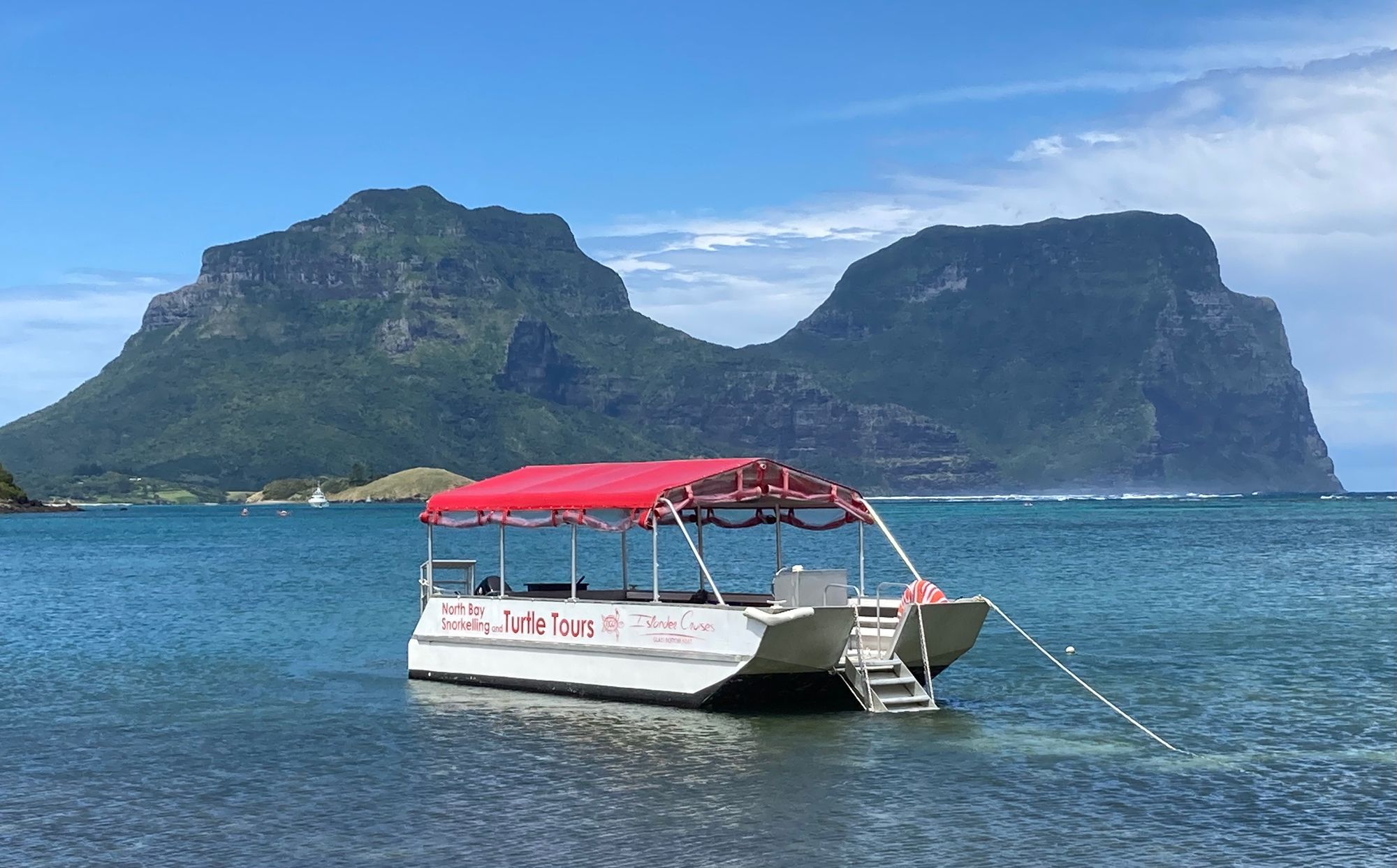
Before our recent foray down under, our Howe Canadian friends, David and Wendy Jones—who themselves lived in Australia for thirty-four years—insisted we pay a visit to the Lord, so to speak. And we were glad we did. Immediately after the Pinkie set down, we were greeted by the majestic twin peaks of Mounts Gower and Lidgbird, which rise skyward for nearly 800 metres (about 2,600 feet). Both were formed millions of years ago from volcanoes.
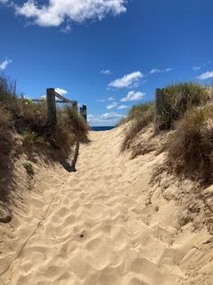
Across the road, a short distance from the airstrip, were sand dunes leading to Blinky Beach, a long stretch of white sand and coral untouched by humans but populated with hundreds of fleshy-footed Shearwater, or ‘Muttonbirds’ as they are commonly called. To the beach’s left was Transit Hill, which would turn out to be one of the island’s premier ‘bush walks’. Or as we labelled them: the jungle.
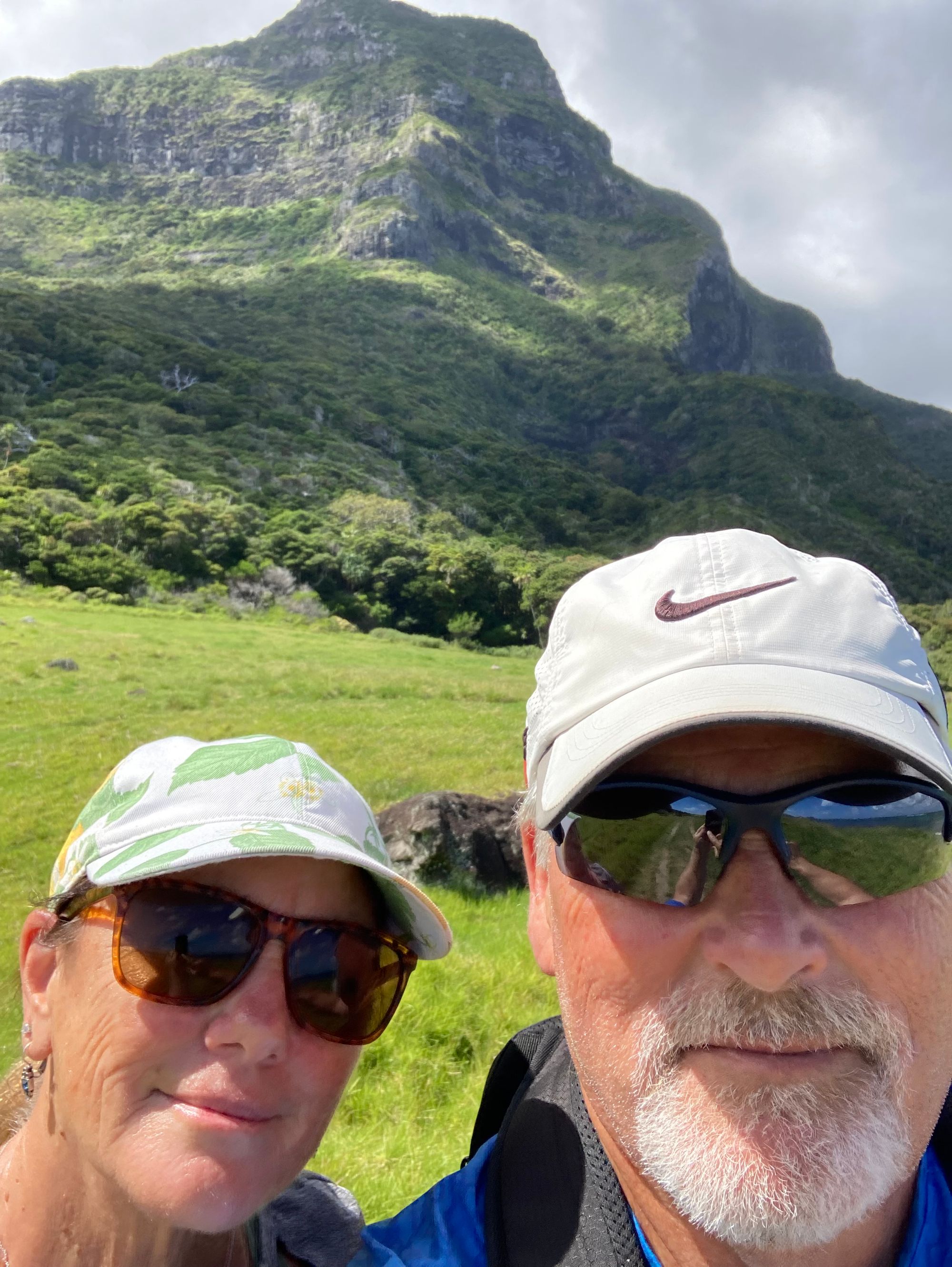
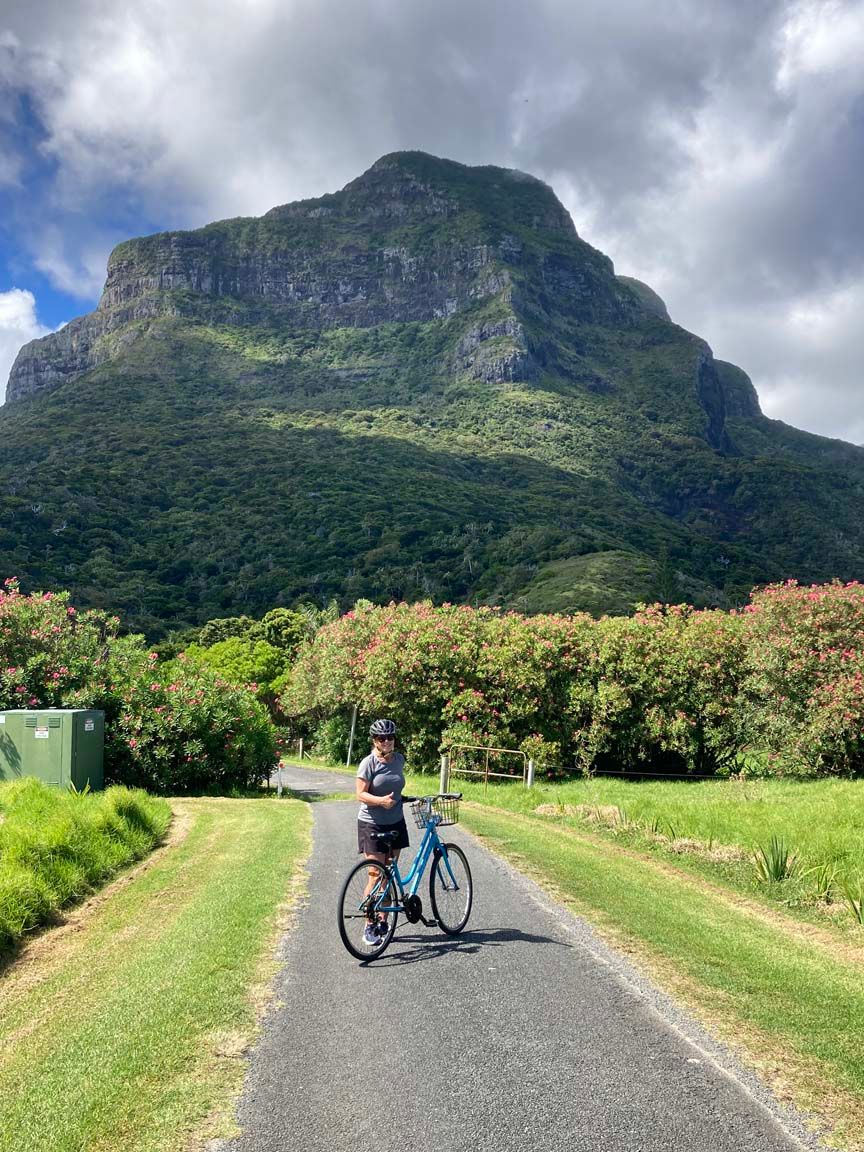
Lord Howe Island was discovered and claimed for Great Britain in 1788, but remained unsettled until more than fifty years later. Today, this isolated atoll is a bustling community of 350 permanent residents, with authorities allowing only another 350 visitors at any given time. Most arrive, of course, during the Southern Hemisphere’s summer (December through March,) when the currents from the equatorial north warm both the islands and seas to a comfortable 26 degrees celsius (about 79 degrees Fahrenheit). In 1982, it was designated a World Heritage Site by UNESCO.
It boasts a primary school (but not a high school – they must study online). There are perhaps 18 – 20 resorts of all sizes and budgets, a lawn-bowling club, three general stores, a liquor outlet, and a post office. We were blessed by having a dozen restaurants, many of which were haut cuisine, with abundant Kingfish being the most popular menu item. Young servers on work visas were common as well, hailing notably from Eastern Europe. Their mission was twofold: to improve their English and to save money so they could return to their universities back home. Or, perhaps, threefold: to swim and hike before their shifts began!
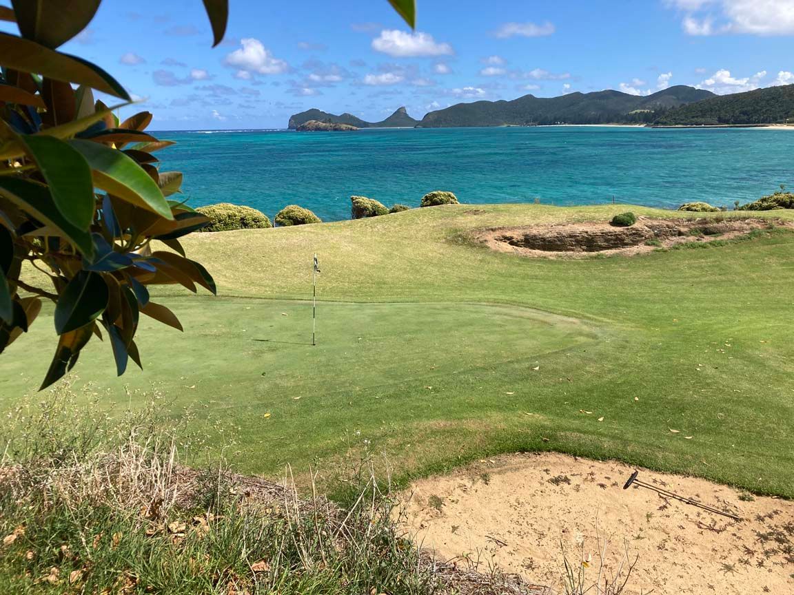
Being a tropical island in great demand, the snorkel and turtle boat cruises are popular. Later, we came upon a massive, but well-hidden, solar panel farm that provides much of the Lord’s electricity. There is a small hospital with a doctor and nurse in residence, a police ‘office’ for a lone constable (though crime is virtually non-existent), a picturesque nine-hole golf course straddling the shore, and a deep-sea pier.
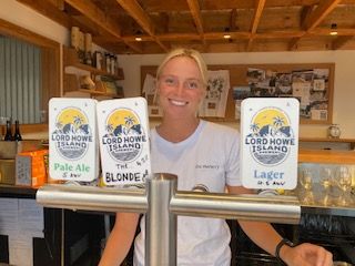
It was at the latter that we witnessed the arrival of a supply ship, a voyage that takes 36 hours from the mainland, filled with everything from diesel fuel to Chardonnay. From our perch on the veranda of The Crooked Post, a favourite watering hole that served an exquisite, locally brewed beer called, appropriately, the Lord Howe Lager, we watched as forklifts and flatbed trucks emerged from nowhere to deliver wares to local businesses and homes. After asking a local how often this ship does this run, we were told “every fortnight.”
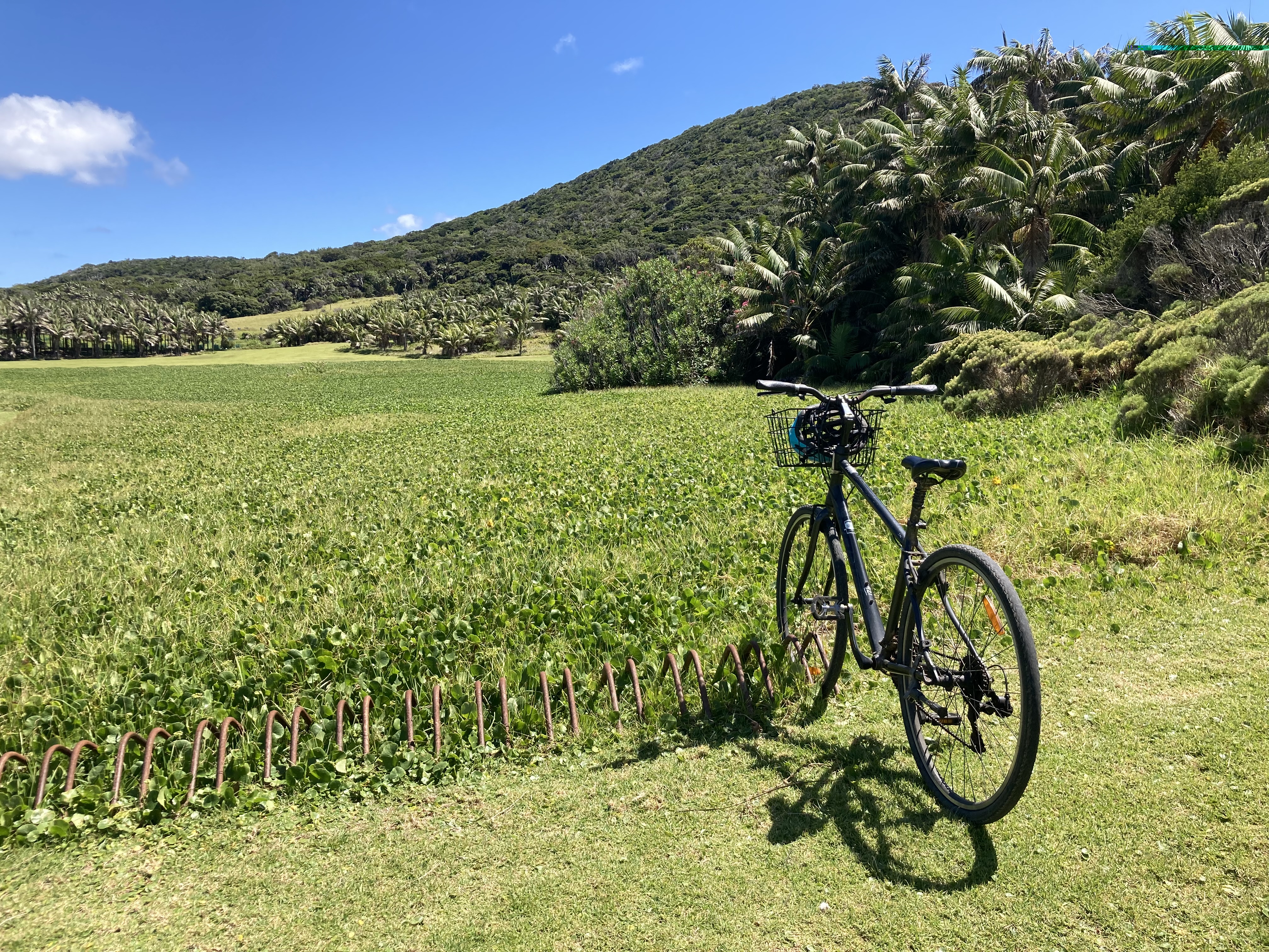
The hectic, motorized activity seemed very odd to us, since for most of our time on LHI, as locals describe their home, the most common mode of transportation was the bicycle, rented to us by a convivial man in his fifties named Wilson. He was joined by ‘Ramblin’ Ron, an elderly local historian with a twinkle in his eye and an obviously gifted storyteller. In the span of ten minutes, Ron gave us the lowdown on this southern paradise, warning us to wear our bike helmets at all times or the constable would fine us $15 on the spot. “Our copper is a stickler for that.”
There are numerous trails to explore, ranging from easy to treacherous—notably to Mounts Gower or Lidsbird, which requires an experienced guide and sufficient fearlessness to scale those sharp, rocky cliffs. Along the way, we discovered place names such as Cobbys Corner, North Hummock, Old Gulch, and Sylphs Hole.
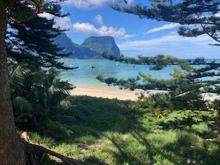
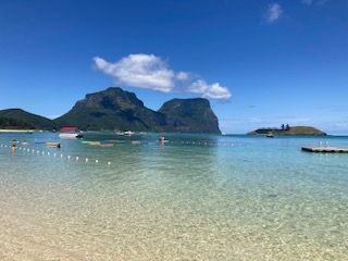
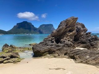
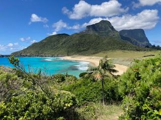
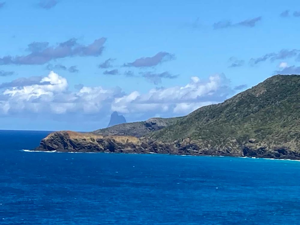
Dismissing any thought of conquering the big hills, we were able to enjoy many excellent walks beyond the towering Norfolk Island Pines and ubiquitous Banyan trees, to places such as Clear Place and the Valley of the Shadows. There we were rewarded with breathtaking views of Balls Pyramid, a striking, triangular-shaped piece of lava rock that juts 500 metres (1640 feet) from the sea. The Pyramid and Mount Lidsbird were immodestly named by Henry Lidsbird Ball, one of the Lord’s underlings who actually sailed the South Seas in the late Eighteenth Century.
After a wonderful, early March week, it was time to leave. On schedule, the Pinkie Rourke arrived to take us back to the mainland. At the airport, our agents were adamant that the plane wouldn’t be too heavy for the short runway to handle. Each bag was placed on the scale and so were we. A sign overhead said, “If you don’t ask, we won’t tell.”
But during our stay, and again as we waited to lift off, I did my best to regale folks about where we live in Canada. “You know, we live on Howe Island, too,” I’d boast, to many puzzled looks and questions. “In the Thousand Islands, at the end of the Great Lakes. They were named after brothers.” Our Howe Island, I added, is a bit larger in area but is bereft of most services, given our proximity to Gananoque and Kingston, and is certainly unserved by airplanes like the Pinkie Rourke.
“Gana-what?” one asked. After pronouncing it correctly, for a second time, I told them about our fine little town. And when I described our Howe Island, and its proximity to our Admiralties, more than one offered praise, saying it sounded beautiful.
“It is,” I replied. “Come and see for yourselves!”
By R.M. Doyon
A 10-year resident of Howe Island, R.M. Doyon is the author of The Upcountry Series of novels, about a troubled family in upstate New York coming to grips with grief, intolerance, and violence. For more information, go to: www.rmdoyon.com.)
Also see: https://thousandislandslife.com/books/books-by-r-m-doyon/

