What’s in a Name? Trails, Channels and Golf
by: Stewart Dutfield
Those of you who know me, know I like to explore! And this summer my explorations gave me time to reflect on "What's in a Name."
Trails
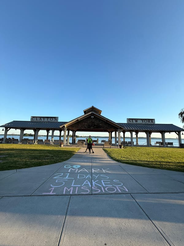
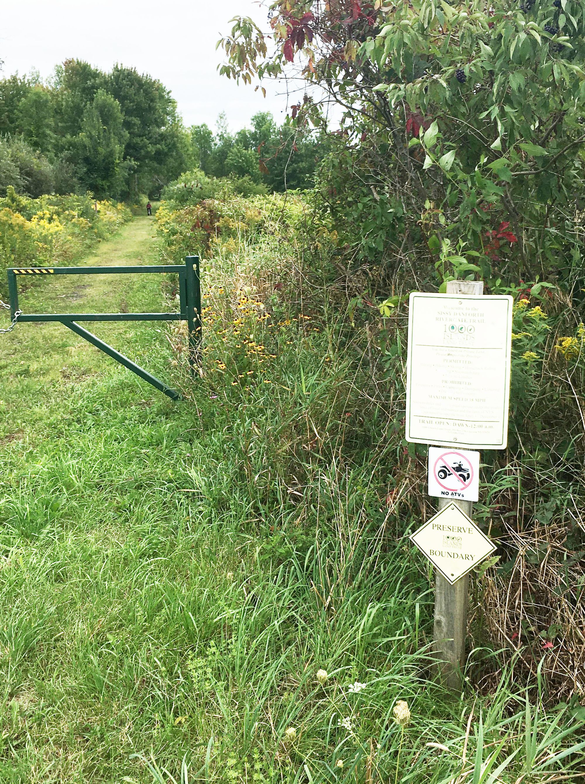
We begin with the Sissy Danforth Rivergate Trail... named after Louise "Sissy" Danforth, the former director of the Thousand Islands Land Trust. Sissy was the inspired energy behind its development.
Starting along the course of the New York Central Railroad, which once brought thousands of visitors to the Thousand Islands, the Sissy Danforth Rivergate Trail links Clayton with La Fargeville as a TILT preserve and then—as the Rivergate trail—across Interstate 81 with branches to Philadelphia and Redwood, NY.
Having parked at the North Country Welcome Center, my wife Jean and I pedaled off to explore. In the center of La Fargeville is a trailhead where recent changes appeared right away; the way toward Clayton was freshly mown, and ATVs are now confined to the route eastward toward Rivergate.
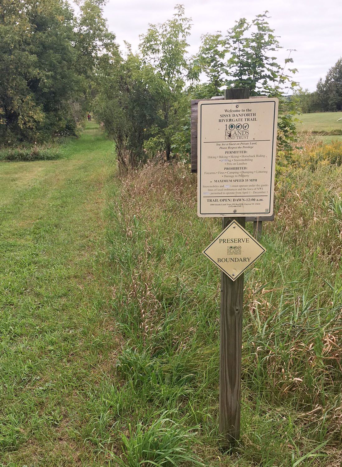
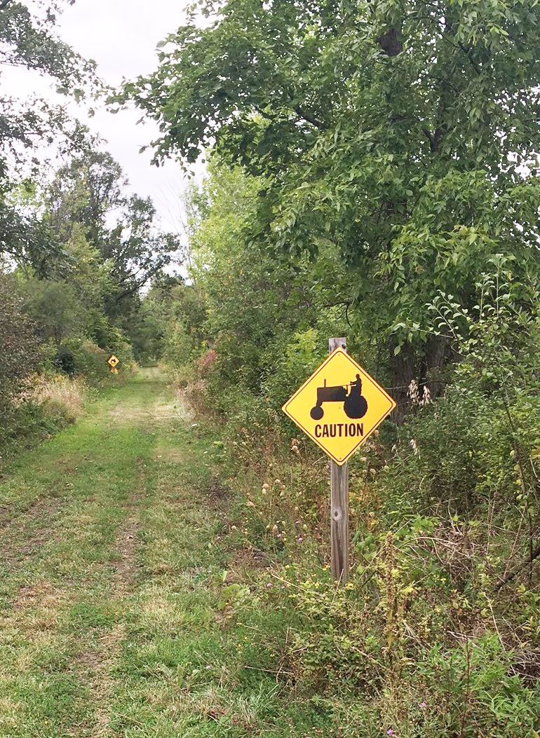
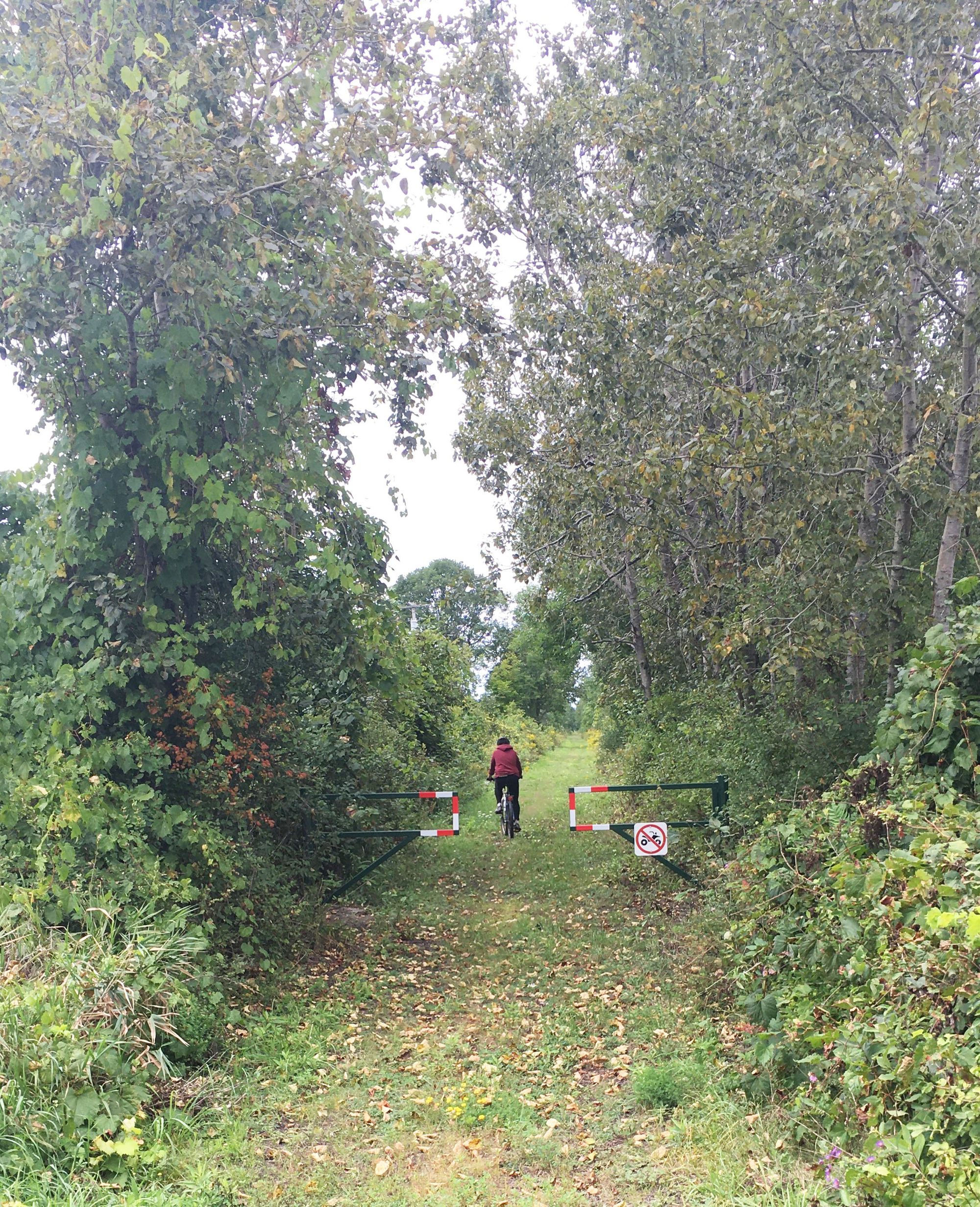
Despite their cumulative age of almost 80 years, our bicycles bore the two of us comfortably and gently over the grass, gravel, and dirt. We passed several tractor crossings between fields on either side of the trail, and reveled in the late summer greenery. The route is straight forward to the stone monument for the Sissy Danforth trail at Black Creek Road. Here we learned we were on the newly-opened trail.
Finding our way blocked at McCarn Creek, it was here we began to consider “What’s in a name?”
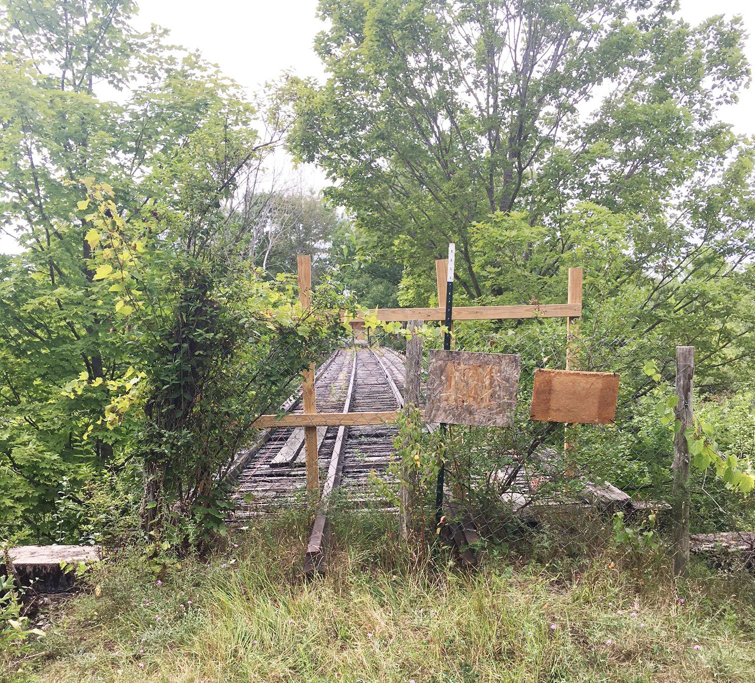
Pretty sure we’d read that this trestle was open, we must have confused it with the larger one miles to our east at Rivergate. We turned back, and then onto the marked trail along the road to a trailhead for the S. Gerald Ingerson Preserve; from here, a brand new crushed stone path travels in one direction back to the rail bed and the closed trestle, and in the other direction, across East Line Road back toward the rail bed and then to Route 12. Kudos to everyone involved in building this new trail, which bypasses a short stretch of rail bed (where perhaps ATVs remain in use) but will eventually offer a continuous trail to walk, run, and bike from Clayton to La Fargeville. From TILT’s website about the project: https://tilandtrust.org/conservation/news/community-connection-project-sissy-danforth-rivergate-trail
“The trestle bridge, built in 1870, needs several safety upgrades. In partnership with the Village of Clayton and the Town of Clayton, TILT is working to raise funds from within the Thousand Islands community to restore a piece of our region’s heritage.”

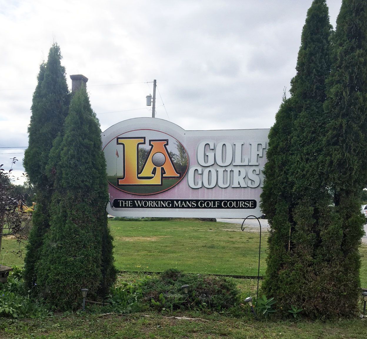
Satisfied to have learned the lay of the land (and the several names involved), we returned via Coyote Moon winery to pick up a couple of bottles of Marquette, and past the LA golf course . . .
Where are these channels?
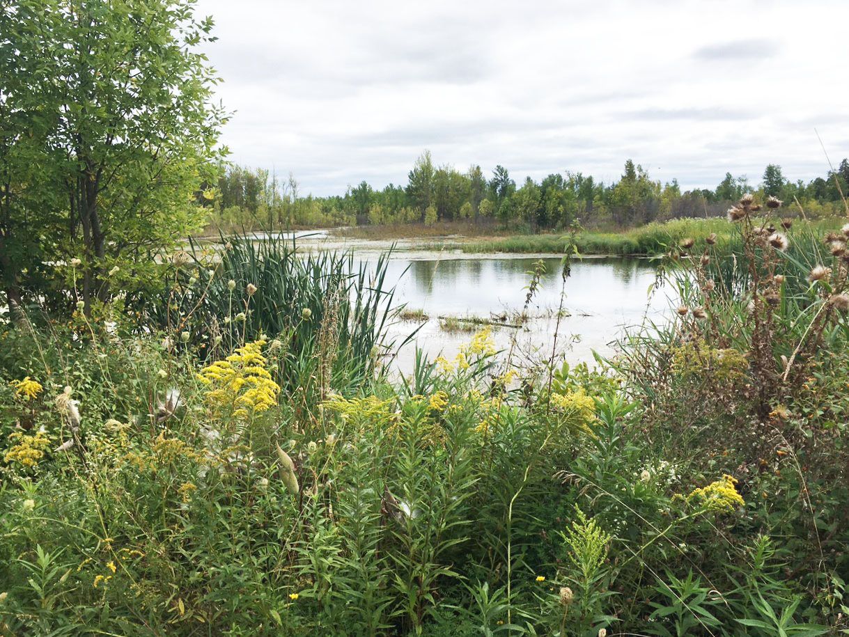
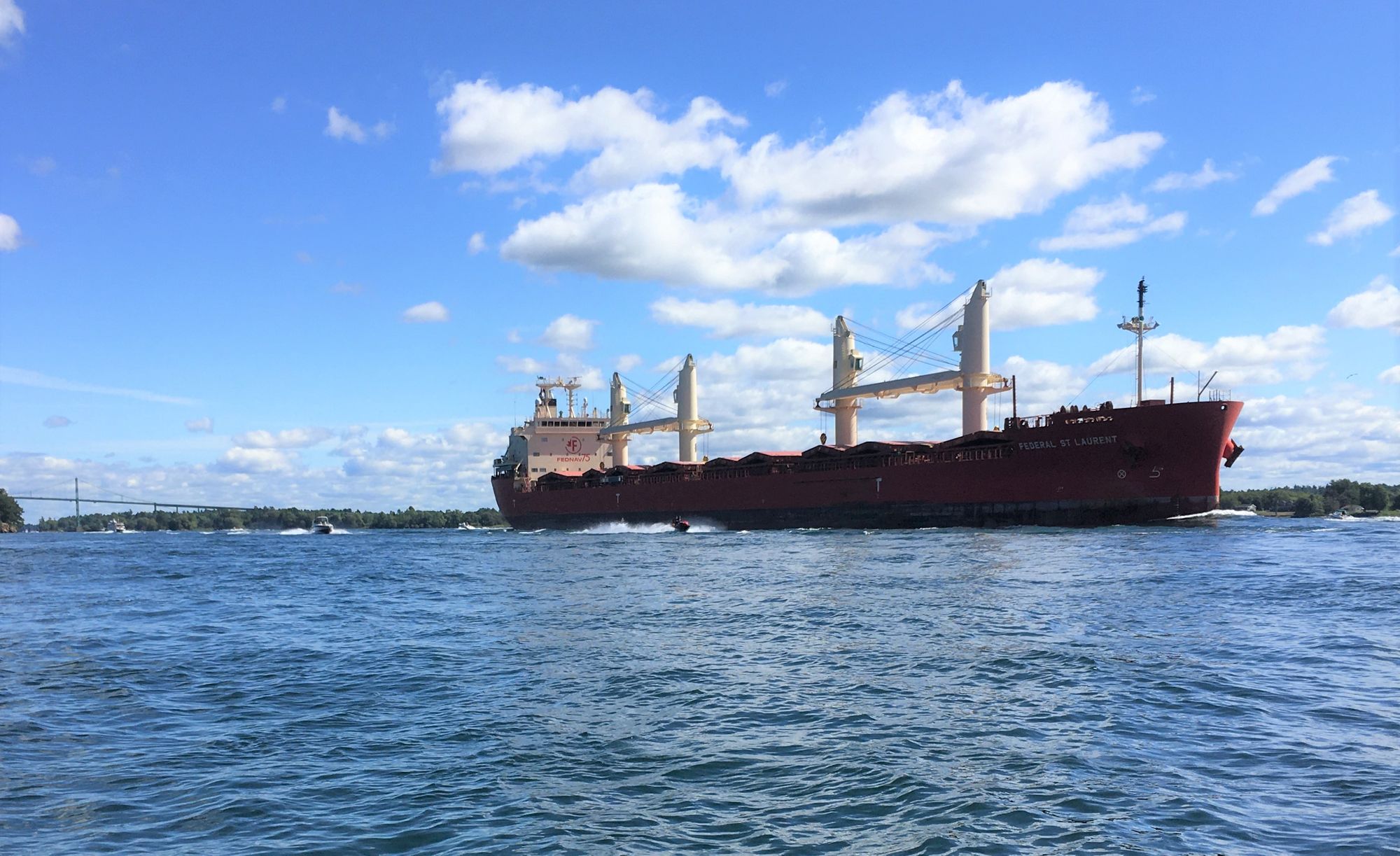
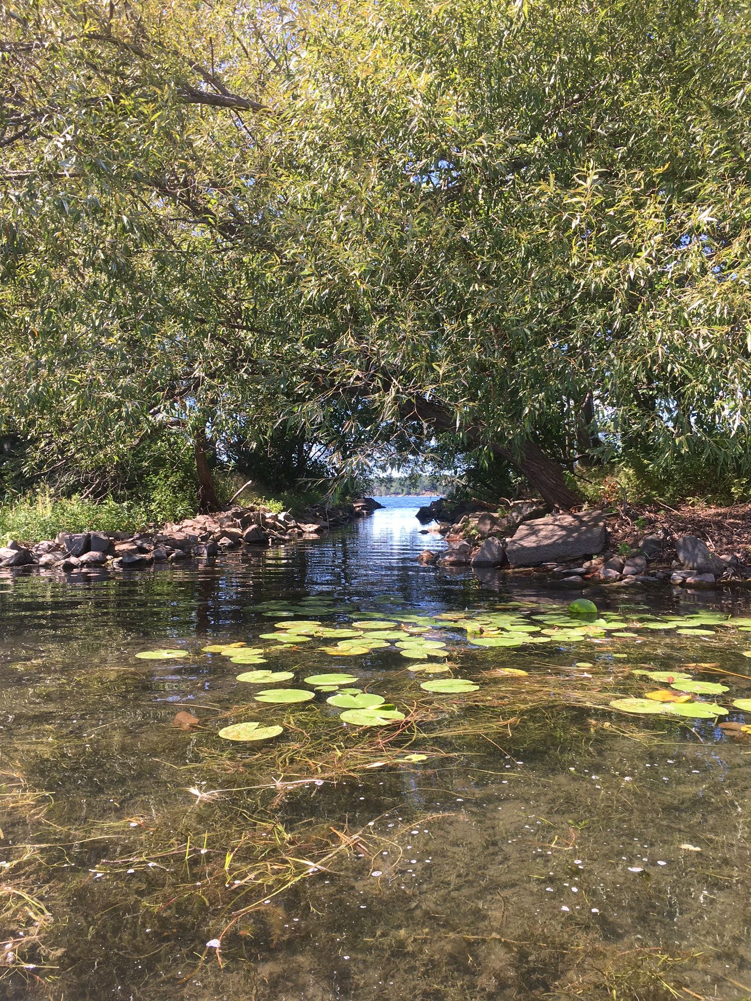
Shortly before noon on the Saturday of Labor Day weekend, I embarked on a kayak trip around Wellesley Island. Though there was very little wind, I took a spray skirt and was glad that I did; the American Narrows—also known as the Narrows—were full of boat traffic and the various wakes were sometimes hard to handle. Don’t try this on a busy afternoon unless you’re experienced in your kayak!
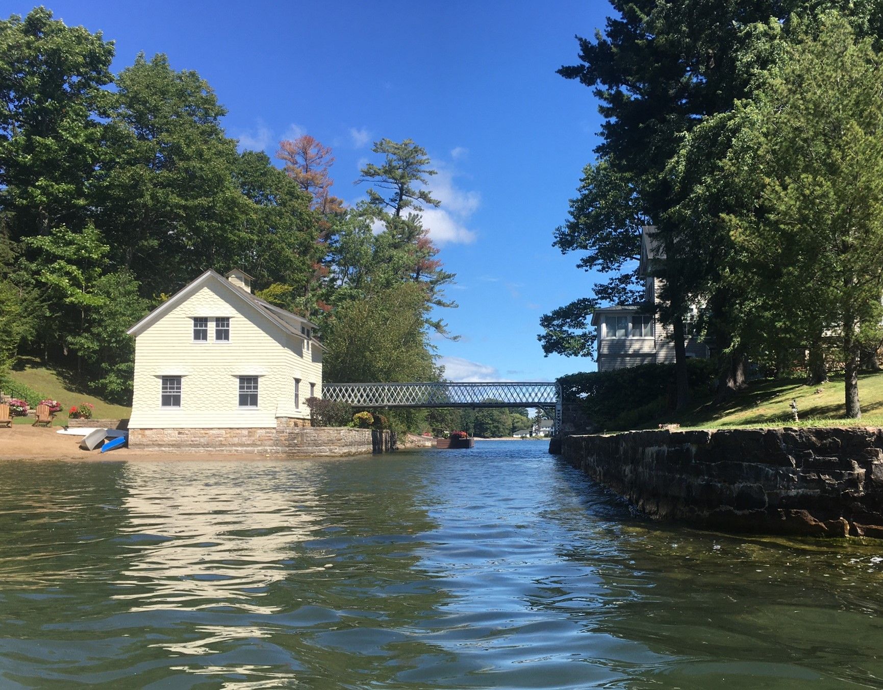
Though the waves were trickiest in the narrow parts of the channel, especially when reflecting off the riverbank, a respite was to be found now and again in a bay, behind an island, and as the channel broadens past Westminster and Boldt Castle. Things got really quiet through the lovely Mary Island Canal, or Mary Island Cut, and remained tranquil through the Lake of the Isles. It seems that there is no widely-known name for the narrow entrance to Lake of the Isles; the best I could find (and it’s good) is “the Narrows with the Camper”—if you’ve been there and seen the camper van on a floating dock with an old outboard, then you’ll know why!
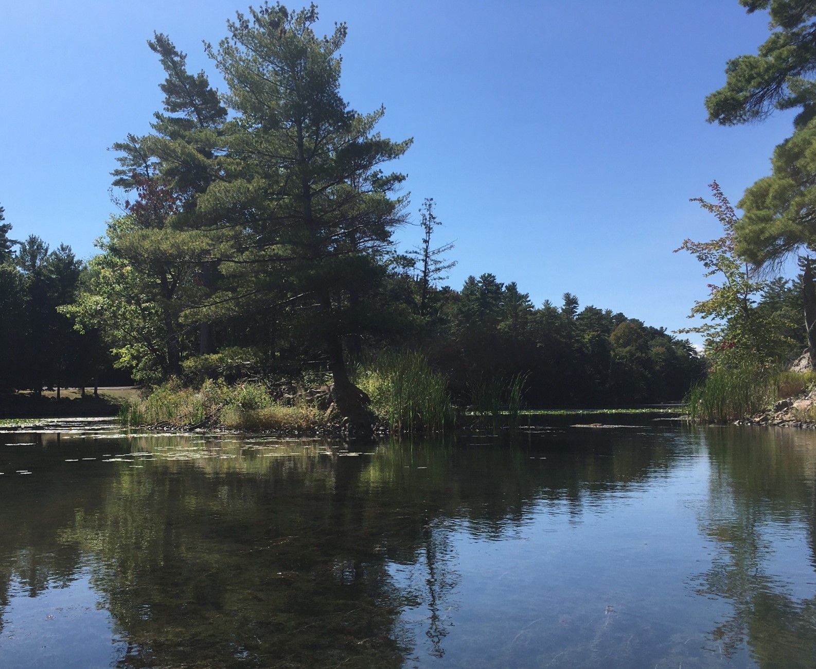
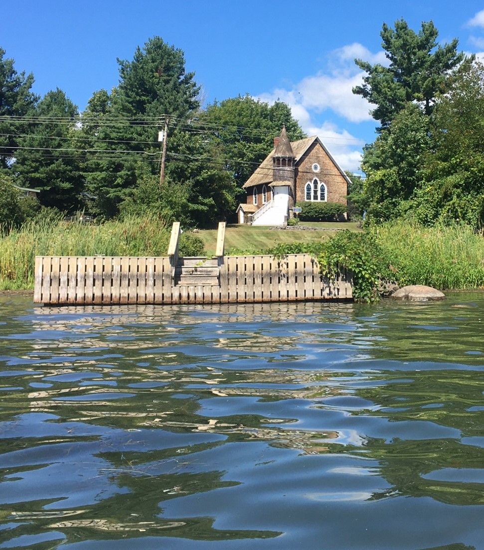
The Rift, or the International Rift, is also known—I’m told with good cause—as Black Snake Passage. The only current I noticed there was in a shallow side channel, and I found it easy to keep up with the power craft passing slowly through the narrow section. Thence, the long haul around Grandview Park and across Eel Bay to Thousand Islands Park (TIP), through what I have always called the Narrows, but is sometimes referred to as the Murray Island Cut, and which for many years also has been known as the Gut.
To find the many, often local, names for these various passages around Wellesley Island, I consulted the collective wisdom of the 1,000 Islands River Rats Now and Then Facebook group; the description above owes much to their contributions. For good measure, I also asked them why the LA Golf Course is so named. Everyone who answered agreed: “LA” is how the locals refer to La Fargeville.
By Stewart Dutfield
Stewart Dutfield has been coming to the Thousand Islands since 2000. At Thousand Island Park he divides his time between kayaking, swimming at the rocks, running in the Minna Anthony Common Nature Center, and riding old Indian bicycles.
This is Stewart’s fourth excursion for TI Life. The first two were in his kayak. Be sure to see Indian Takeout by Kayak, July 2017 and Well-Preserved and Well-Refreshed, September 2018. And also Two Ferries and Vinyard in September 2019.