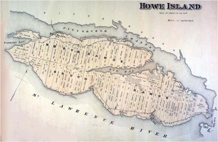
Howe Island, Ontario
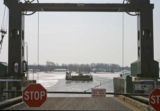
The fourth largest island (after Wolfe, Wellesley, and Grindstone), Howe is about eight miles long by three miles wide. Two ferry services connect to the mainland across the Bateau Channel (at one time called Pittsburgh Channel) making it possible to drive much of the length of the island without retracing the route--but few visitors are aware of this, or even of the island.
One cable ferry links the island to the mainland near Gananoque. On the map below, the eastern (near Gananoque) cable ferry connects to the road at the left, while the western ferry crosses the Bateau Channel at the top.
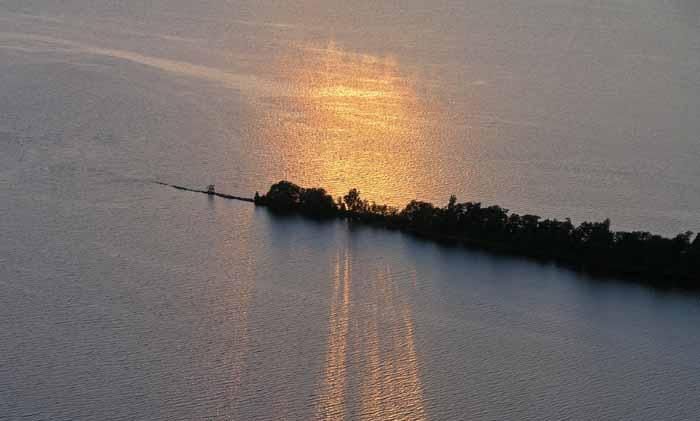
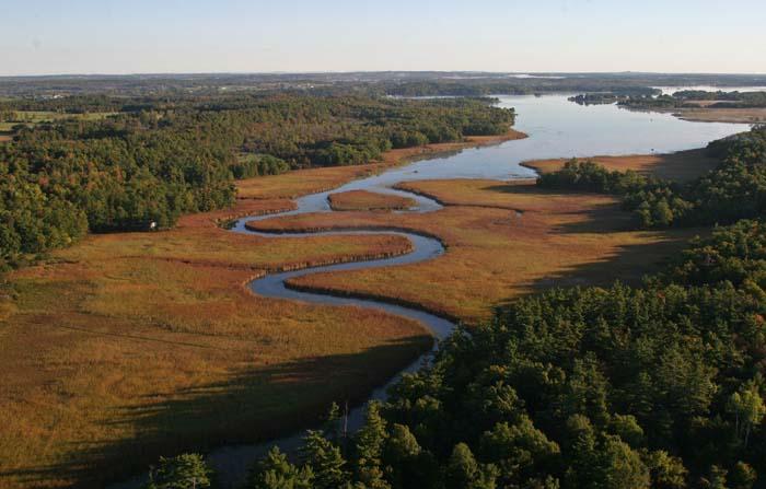
As the shore lines on the map suggest, the landscape on the Bateau Channel is different from the south shore of Howe Island. The northern part of the island is the characteristic granite terrain, of the Laurentian Shield, whereas the southern part (like nearby Wolfe Island) has the more level surface which reflects the overlaying sedimentary limestone of the lake plain.
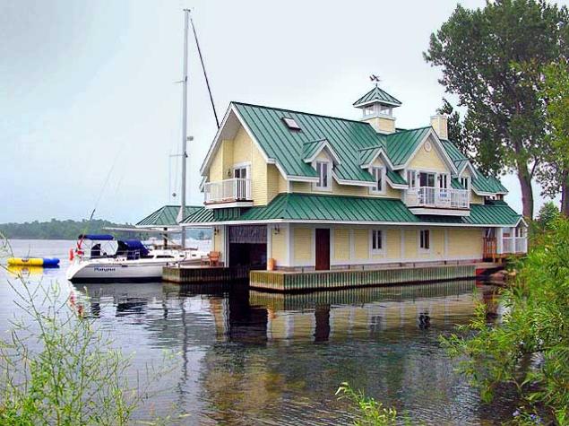
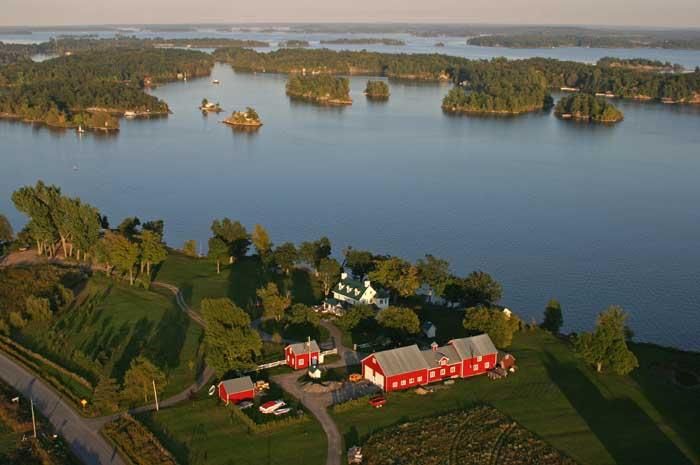
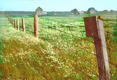
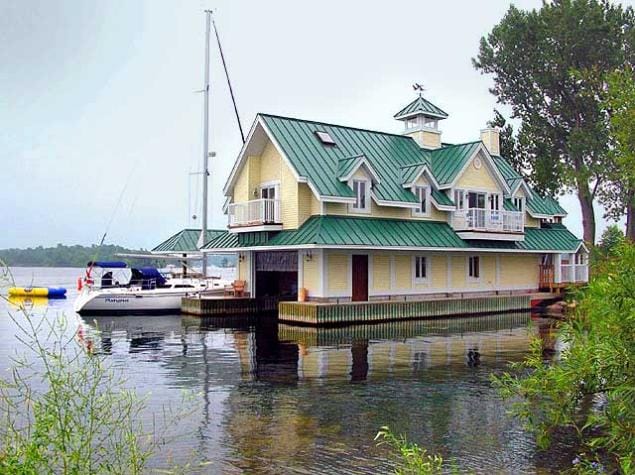
Although off the beaten path for tourists, Howe Island's extensive shoreline attracts many more permanent residents.
The Howe Island Ferries charge a fee, currently $6 return. The main ferry (15 cars) runs 24/7 and the cable ferry (3 cars) at the east end runs 18/7.
There are no retail stores on Howe island, although there is a substantial number of permanent resident, but the towns of Gananoque and Kingston, make the resources of those communities relatively convenient.